Clouds
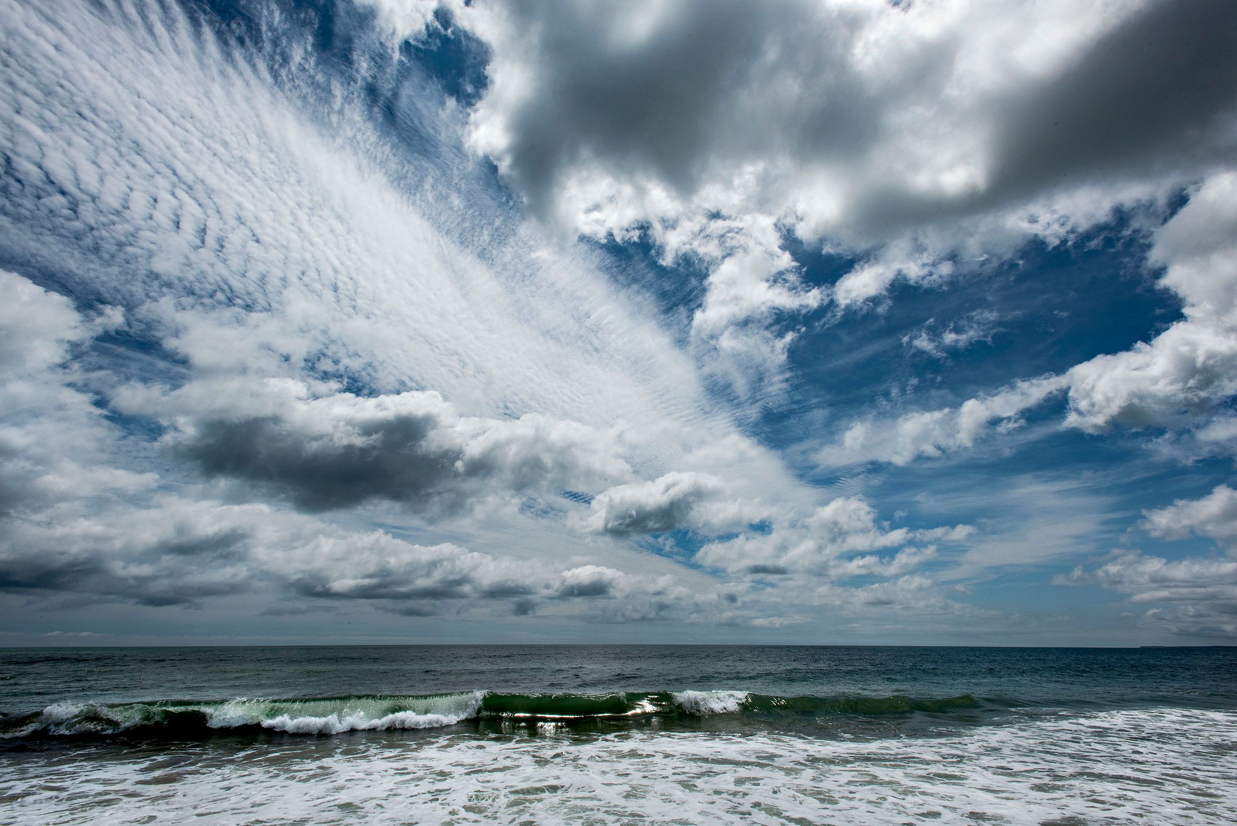
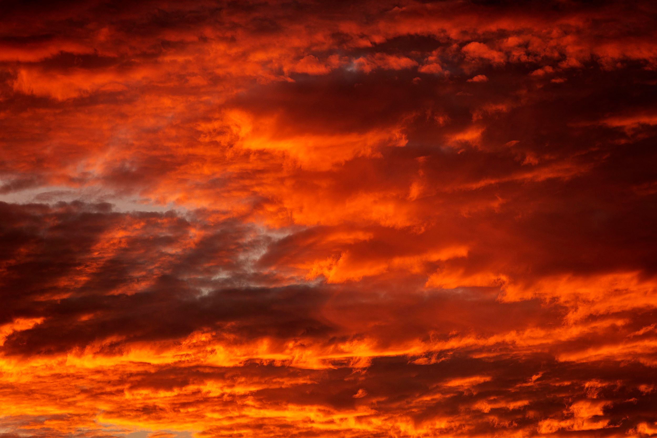
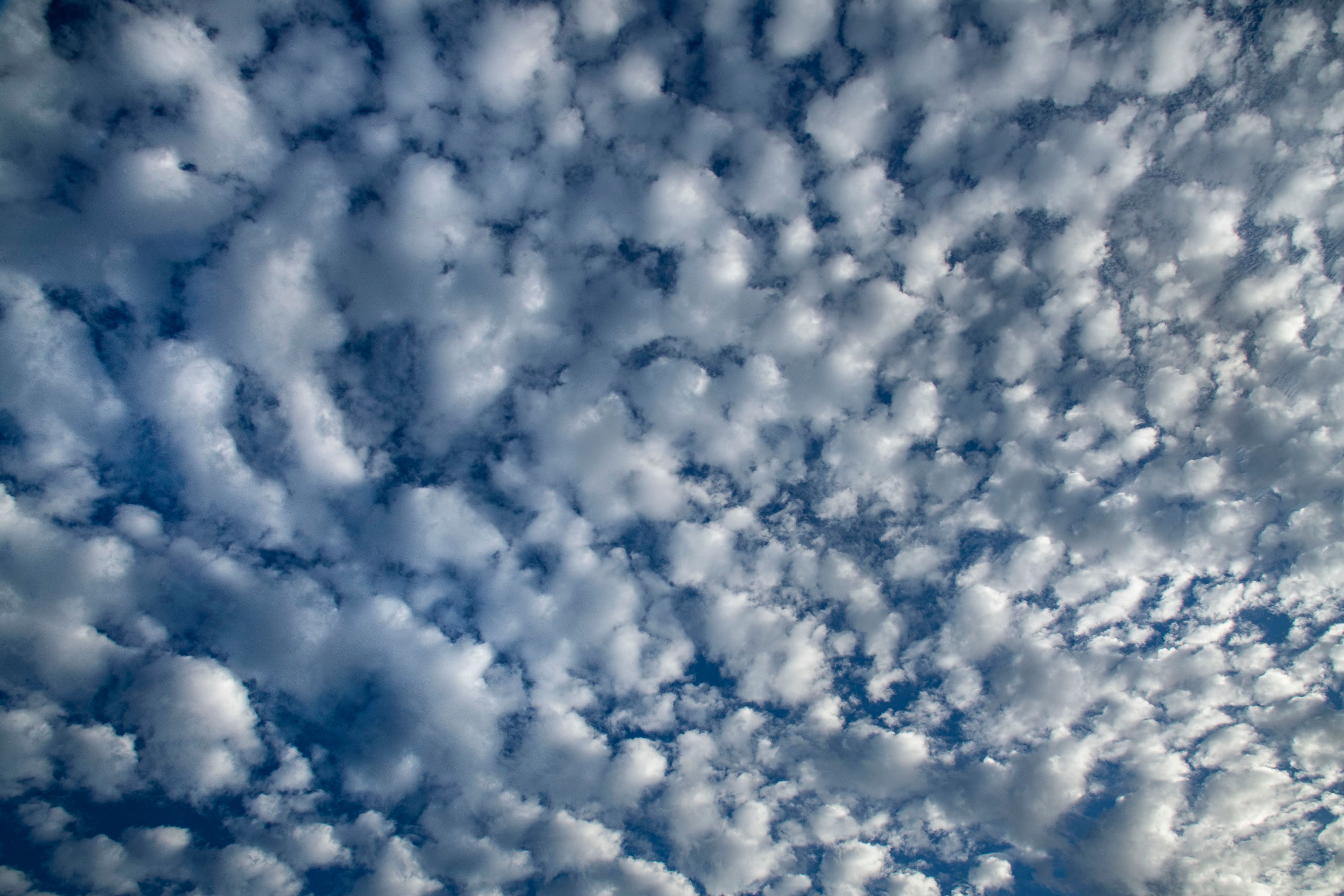
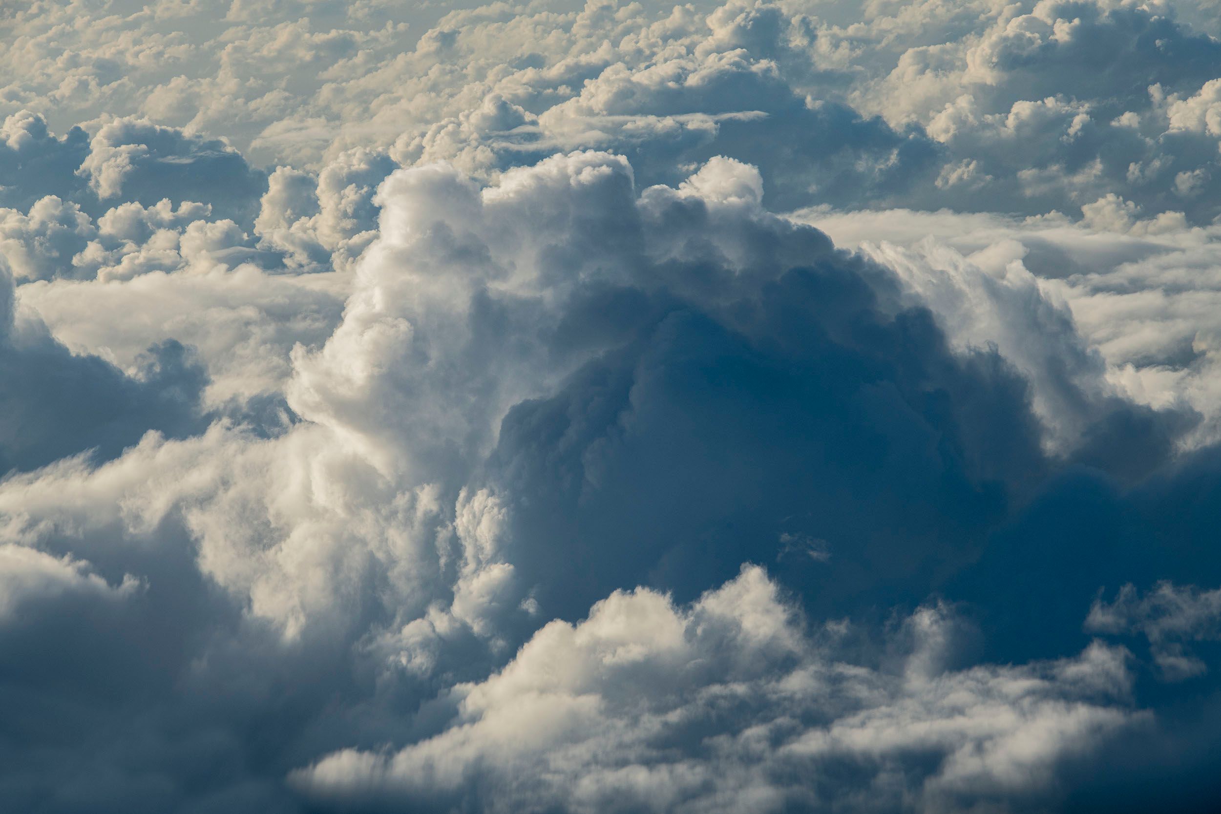
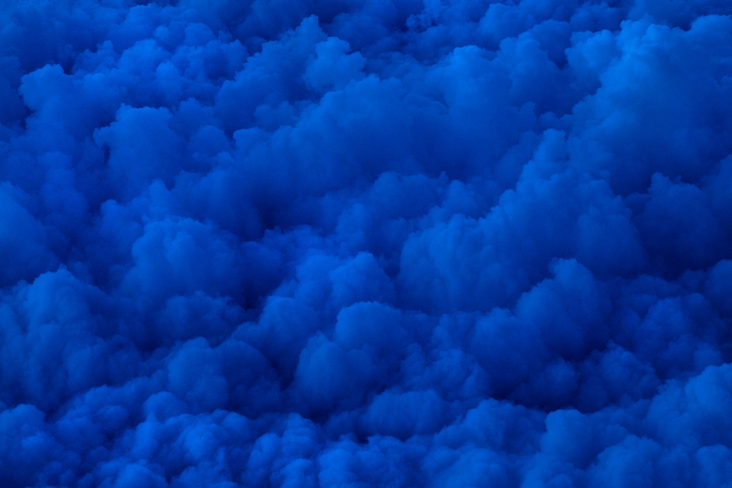
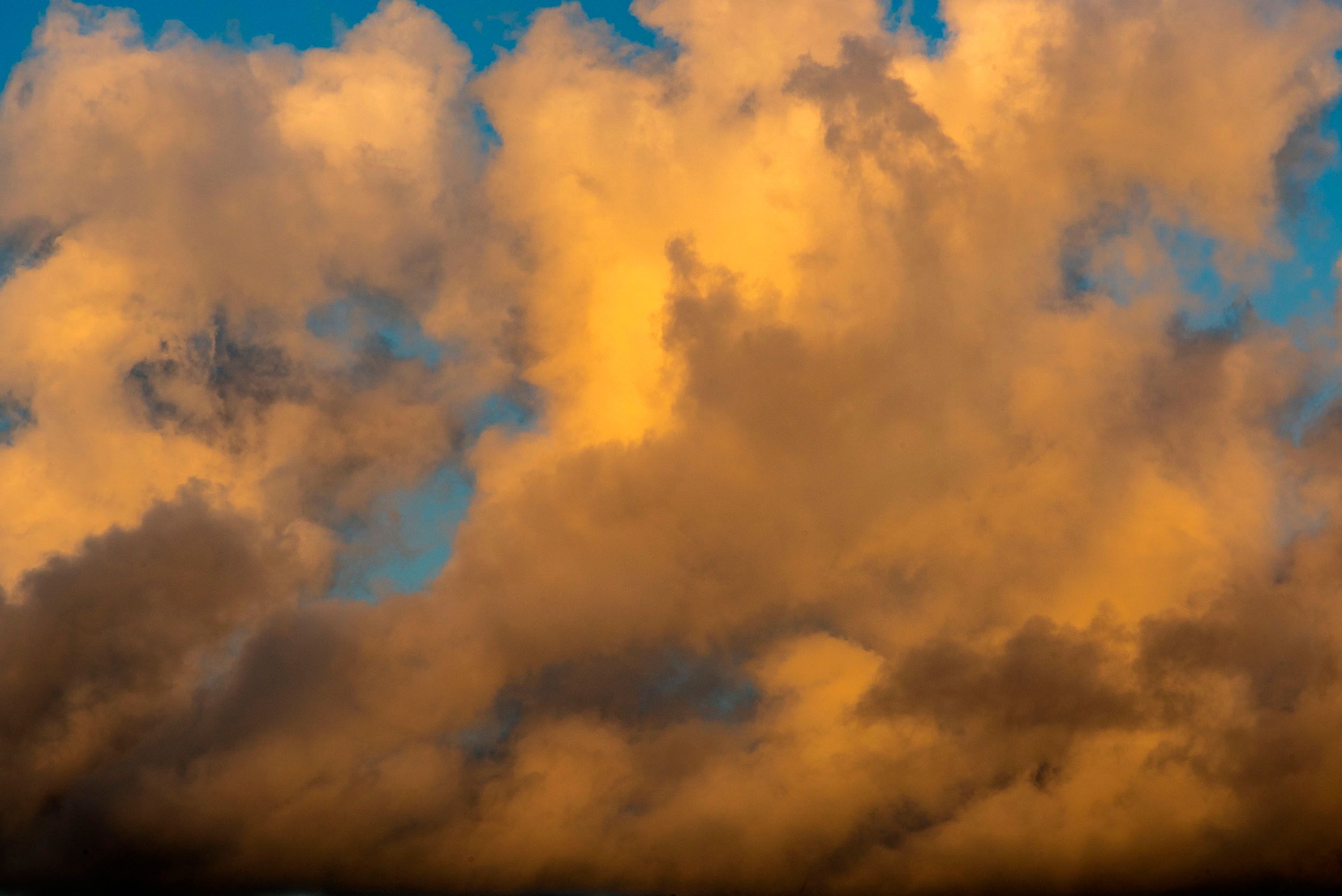
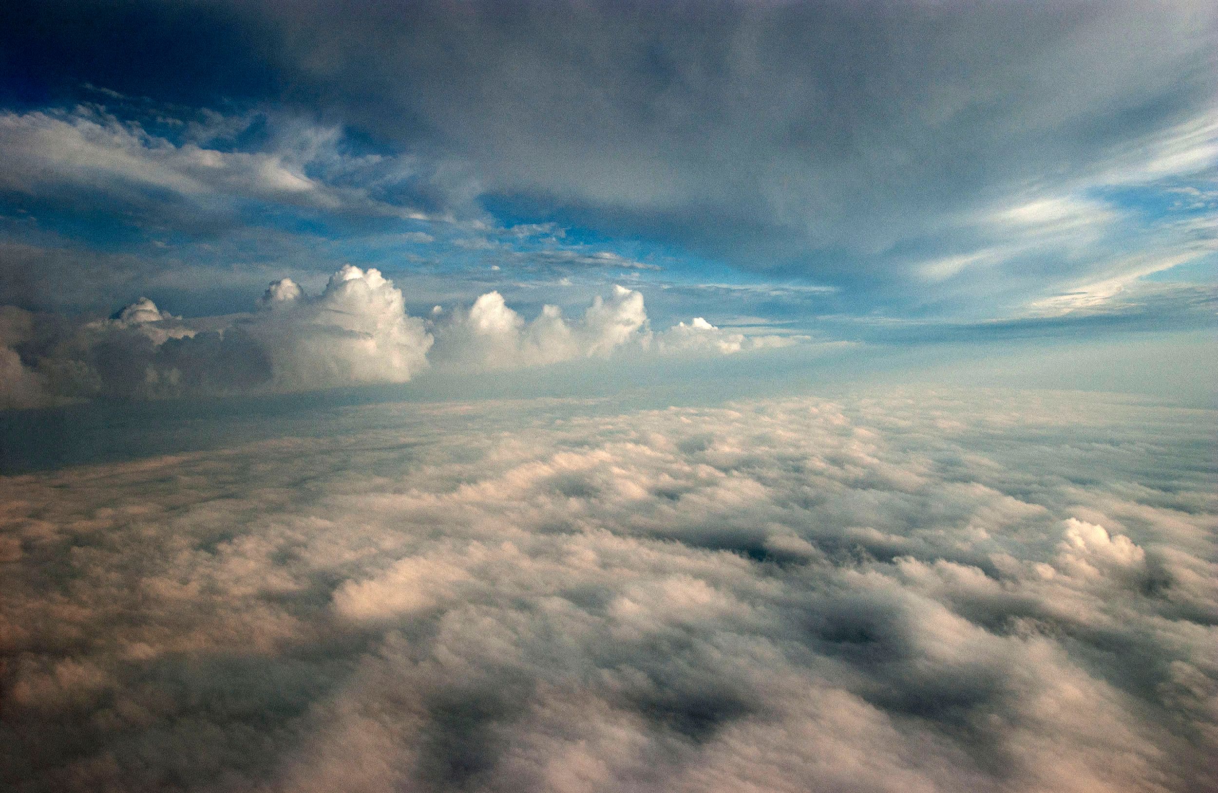
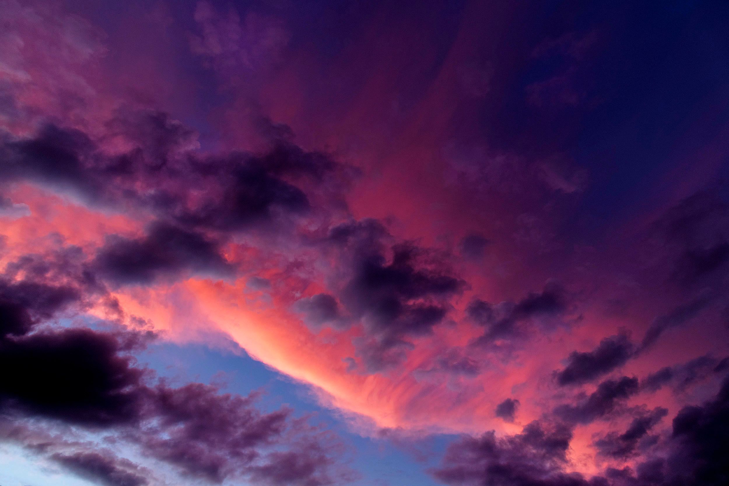
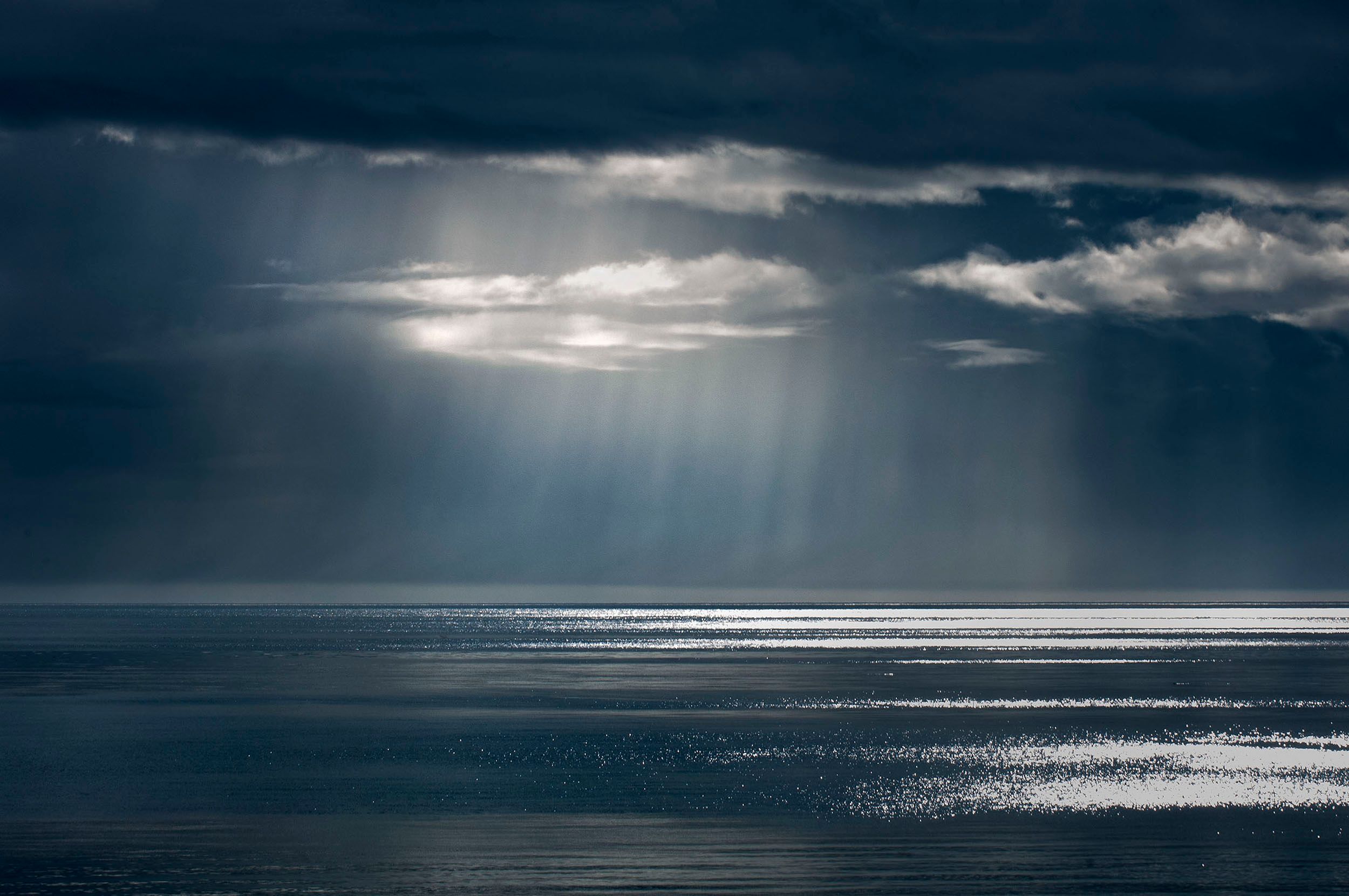
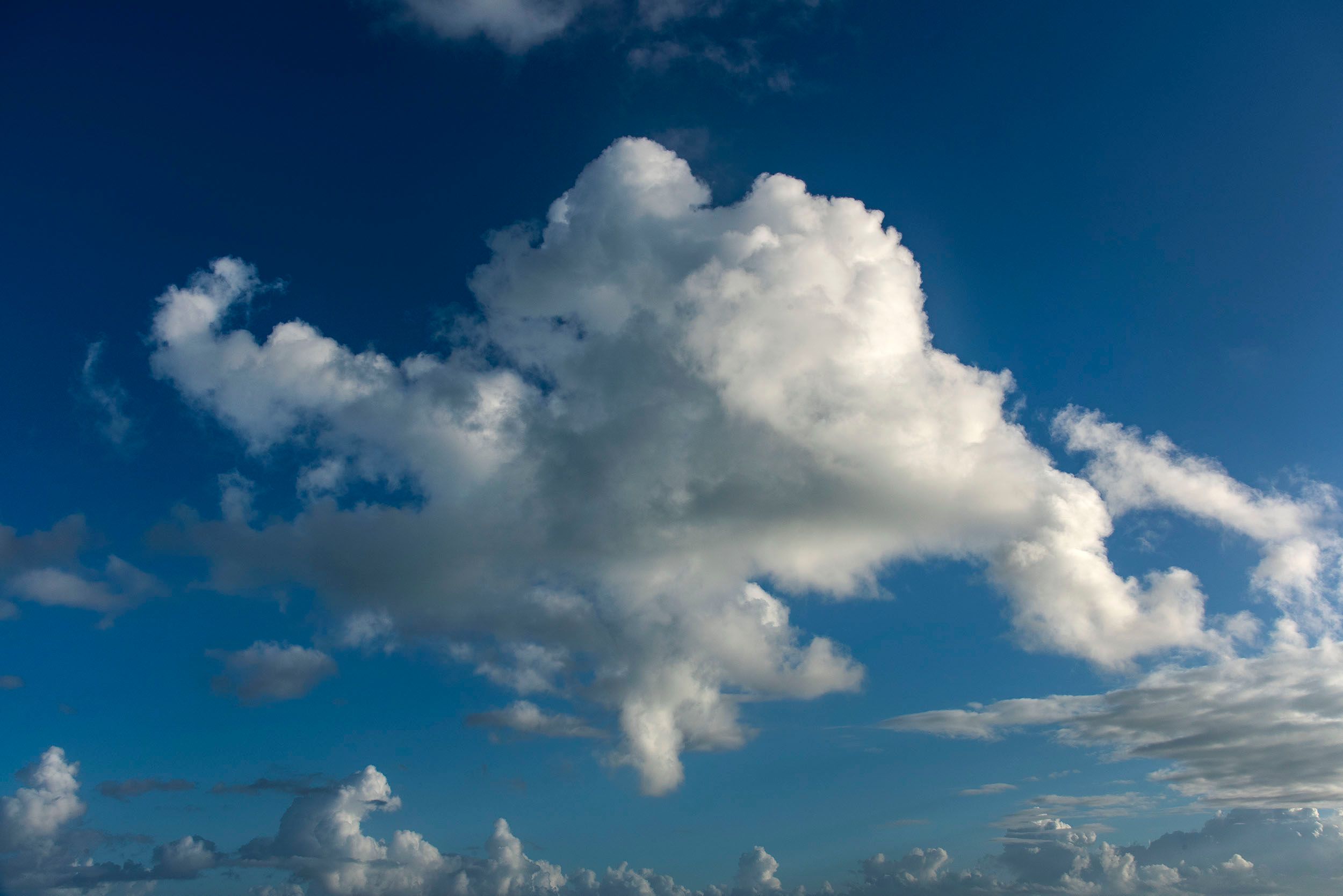
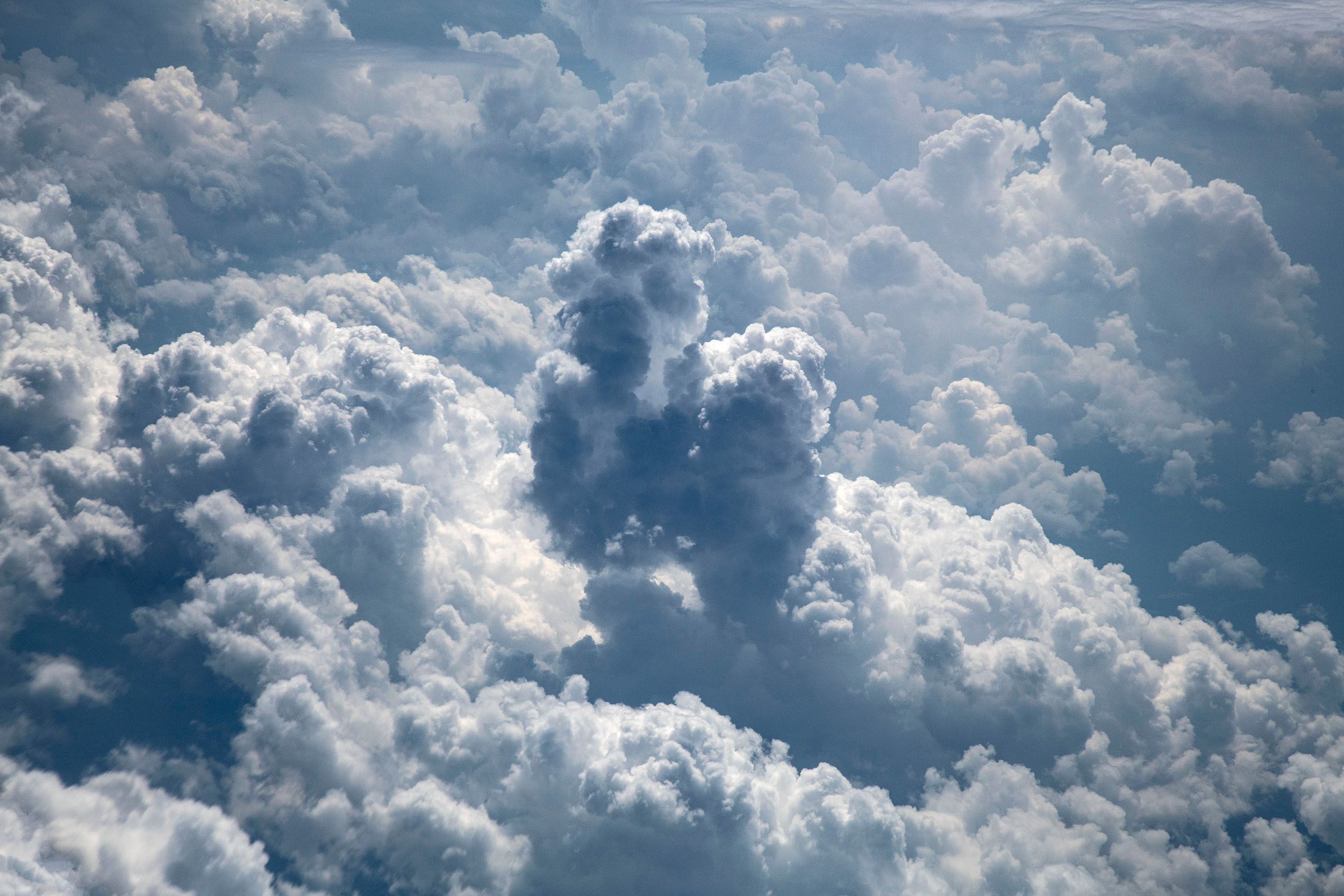
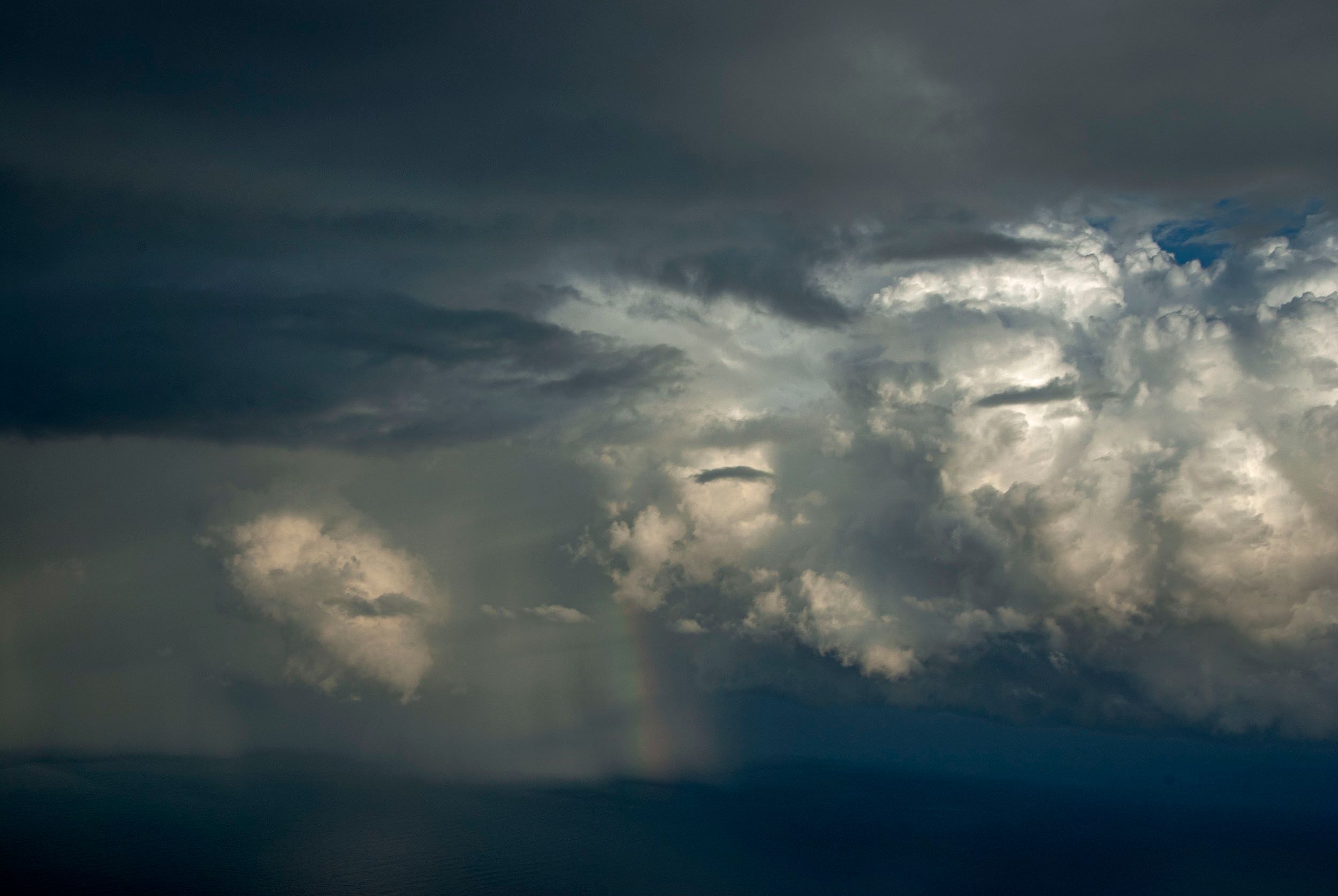
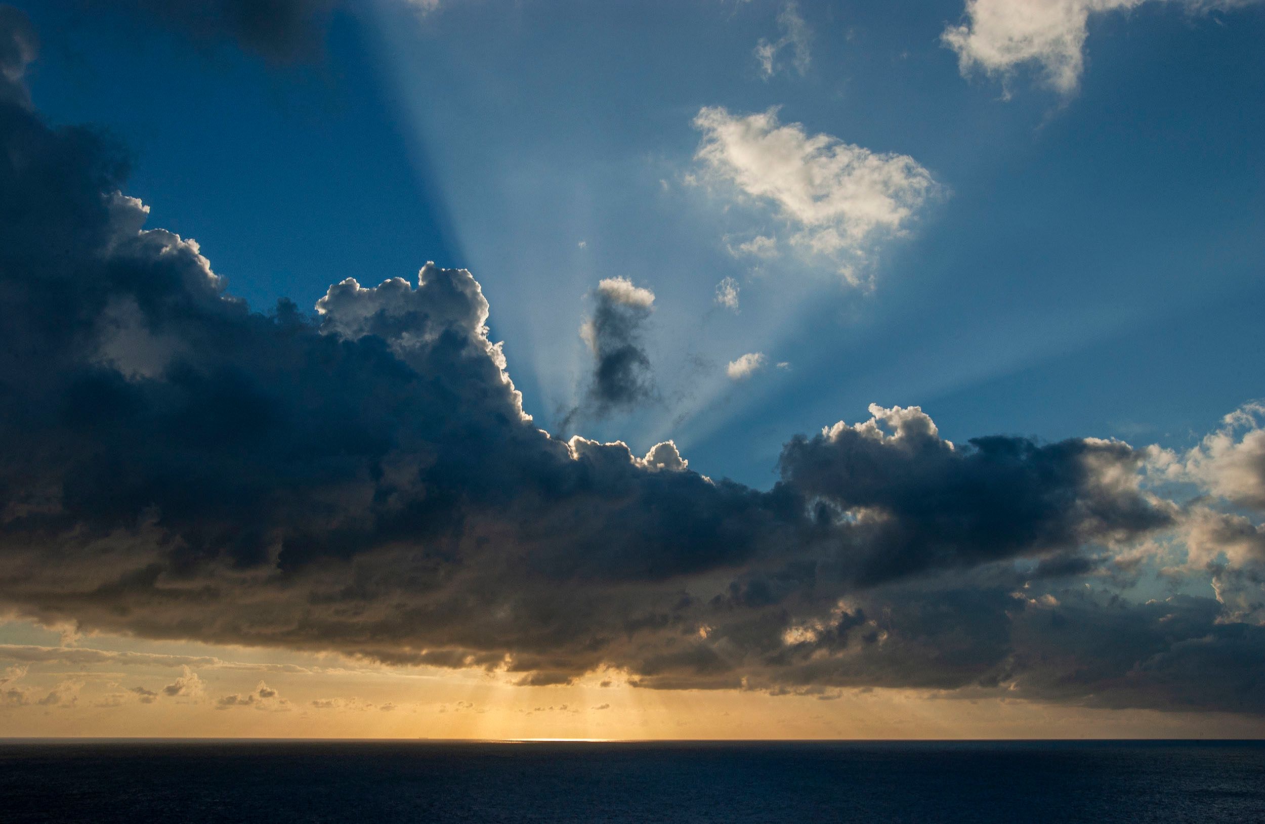
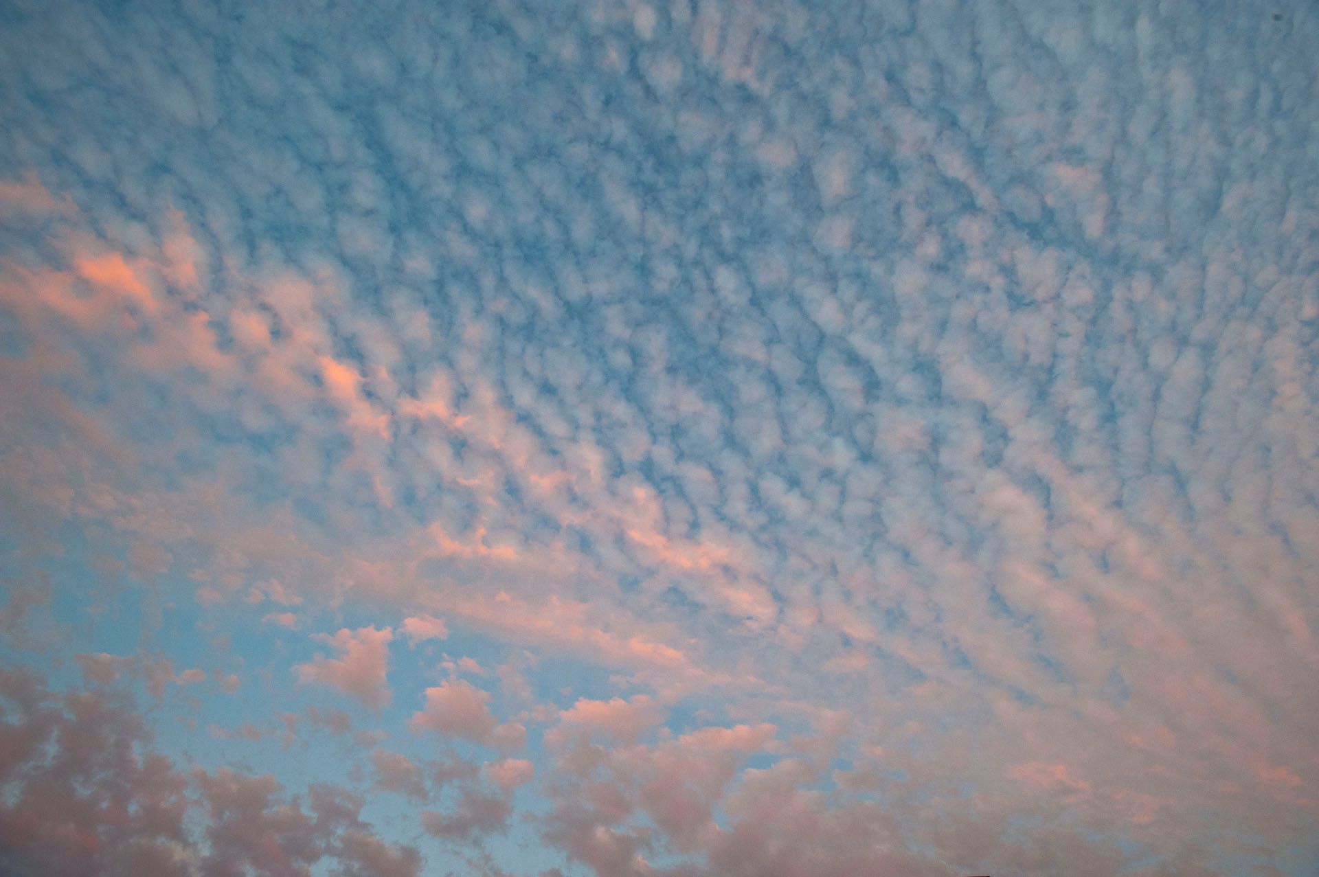
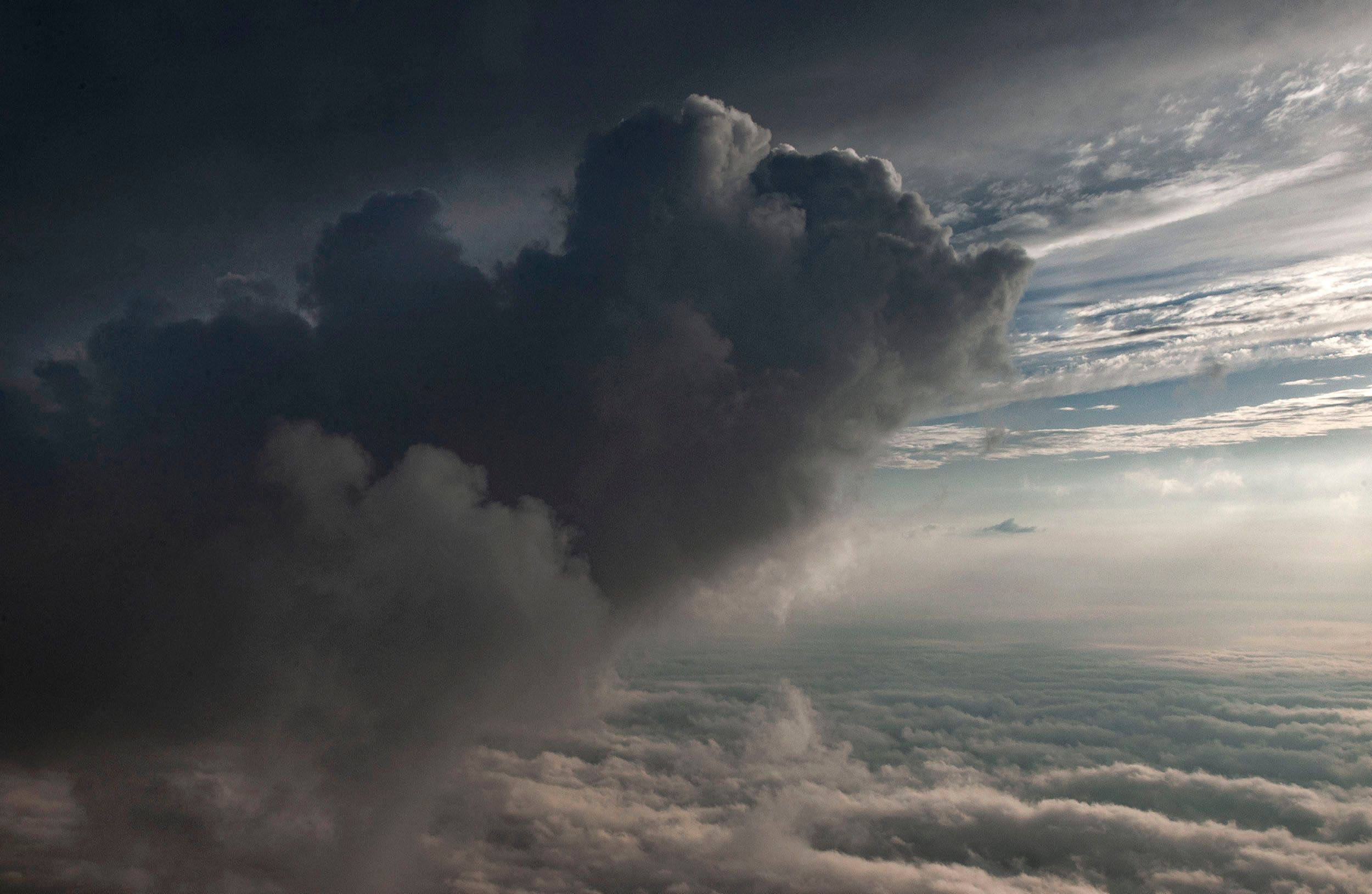
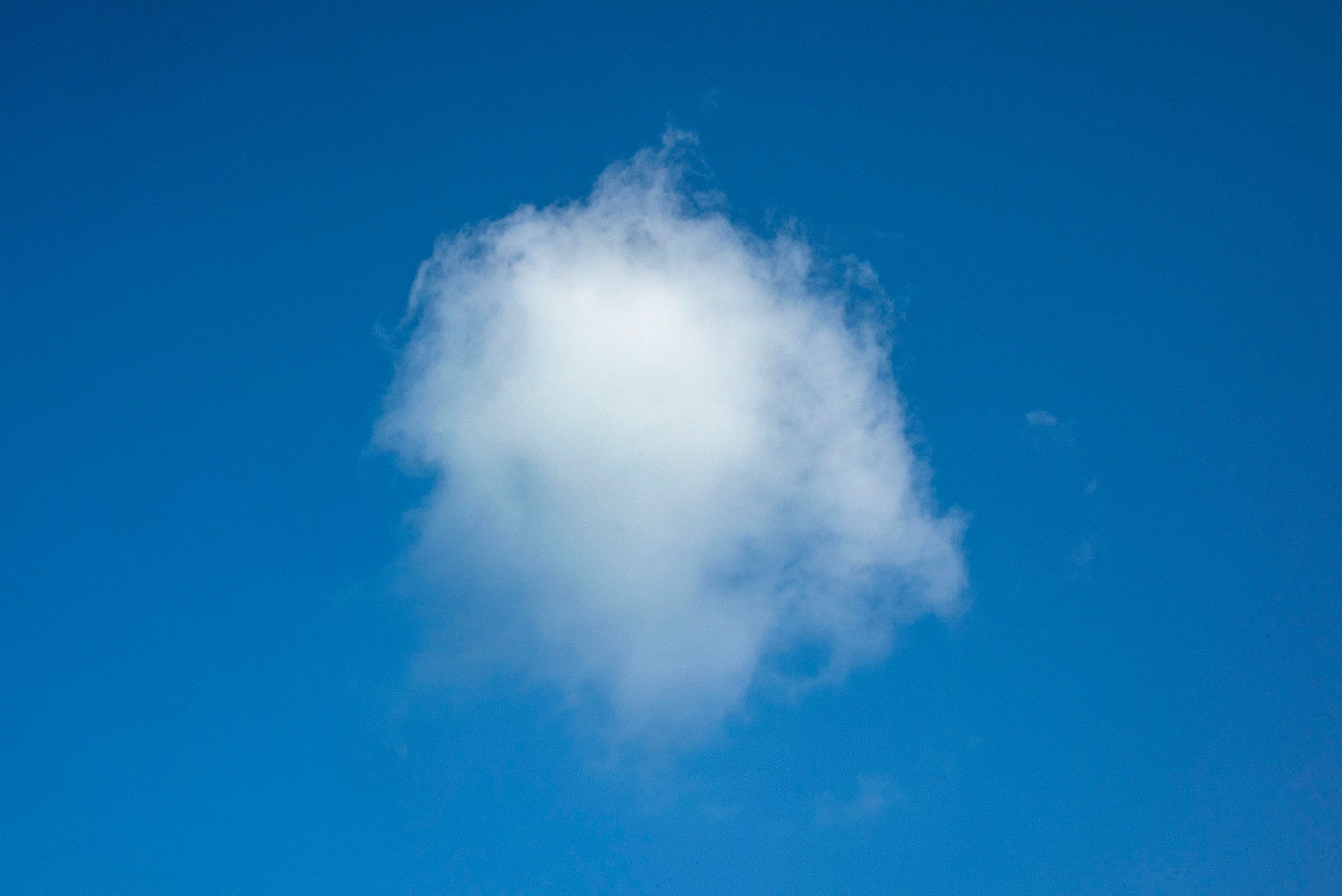
Watching clouds is very zen. An enjoyable yet subtle lifelong observation that eventually encouraged me to photograph them. Often taken for granted, it's hard to appreciate the unique formations that are in a constant state of transformation. Yet, they are always there......well, almost always, and that is part of the challenge of photographing them. Much like one's breathing (with inhalations and exhalations) or any other constant in life which co-exists with your 24-7-365, it requires slowing down enough to sit in one place long enough to appreciate the unique expressions of condensed water vapors in the air and for me, photographing them along the way.
A brief description of the science of clouds:
https://scied.ucar.edu/learning-zone/clouds/how-clouds-form
In a thunderstorm, warm air moving up can form into a cloud in less than 1 minute. Other types of clouds, located very high in the atmosphere and made mostly of ice, can take minutes to hours to form depending on how fast the air moves up.
Clouds are made of water droplets or ice crystals that are so small and light they can stay in the air. But how do water and ice that make up clouds get into the sky? And why do different types of clouds form?
The water or ice that makes up clouds travels into the sky within the air as water vapor, the gas form of water. Water vapor gets into the air mainly by evaporation – some liquid water from the ocean, lakes, and rivers turns into water vapor and travels in the air. When air rises in the atmosphere, it gets cooler and is under less pressure. When air cools, it cannot hold all of the water vapor it once was. Air also can't hold as much water when air pressure drops. The vapor becomes small water droplets or ice crystals, forming a cloud.
It's easier for water vapor to condense into water droplets when it has a particle to condense upon. These particles, such as dust and pollen, are called condensation nuclei. Eventually, enough water vapor condenses upon pieces of dust, pollen, or other condensation nuclei to form a cloud.
Heated by sunshine, the ground heats the air just above it. That warmed air starts to rise because, when warm, it is lighter and less dense than the air around it. As it rises, its pressure and temperature drop causing water vapor to condense. Eventually, enough moisture will condense out of the air to form a cloud. Several clouds form this way, including cumulus, cumulonimbus, mammatus, and stratocumulus clouds.
Clouds also form when air is forced upward at areas of low pressure. Winds meet at the center of the low-pressure system and have nowhere to go but up. All types of clouds are formed by these processes, especially altocumulus, altostratus, cirrocumulus, stratocumulus, or stratus clouds.
Some clouds, such as lenticular and stratus clouds, form when the wind blows into the side of a mountain range or other terrain and is forced upward, higher in the atmosphere. The side of the mountains that the wind blows towards is called the windward side. The side of the mountains where the wind blows away is called the leeward side. This can also happen without a dramatic mountain range, just when air travels over land that slopes upward and is forced to rise. The air cools as it rises, and eventually, clouds form. Other types of clouds, such as cumulus clouds, form above mountains too as air is warmed at the ground and rises.
Weather fronts, where two large masses of air collide at the Earth's surface, also form clouds.
- At a warm front, where a warm air mass slides above a cold air mass, the warm air is pushed upward, forming many different types of clouds – from low stratus clouds to midlevel altocumulus and altostratus clouds, to high cirrus, cirrocumulus, and cirrostratus clouds. Clouds that produce rain like nimbostratus and cumulonimbus are also common on warm fronts.
- On a cold front, where heavy a cold air mass pushes a warm air mass upward, cumulous clouds are common. They often grow into cumulonimbus clouds, which produce thunderstorms. Nimbostratus, stratocumulus, and stratus clouds can also form at the cold front.
© 2019 UCAR with portions adapted from Windows to the Universe (© 2009 NESTA)

